Description
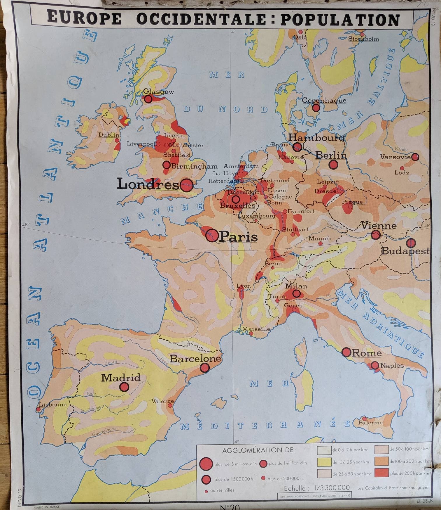
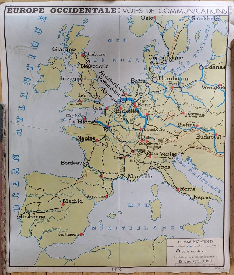
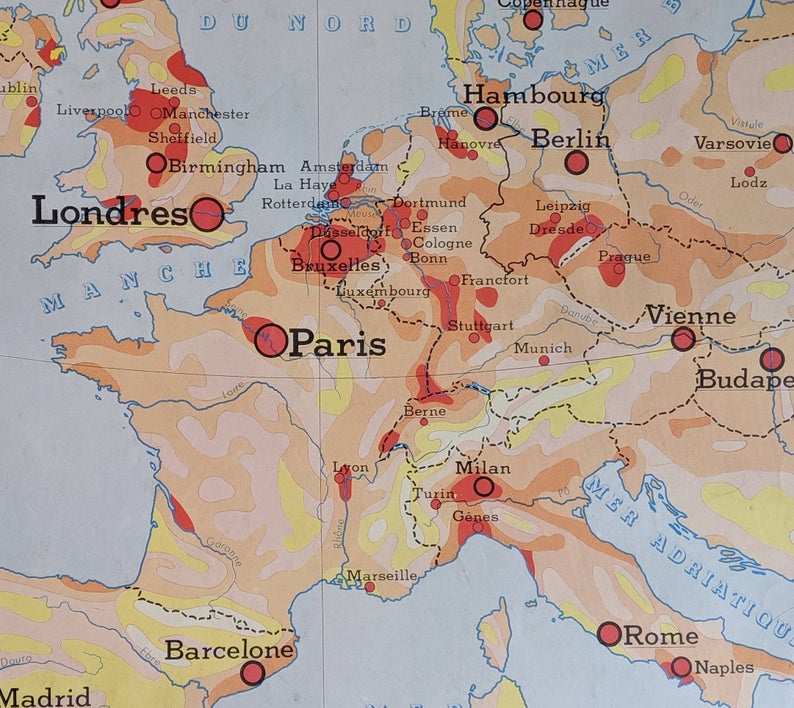
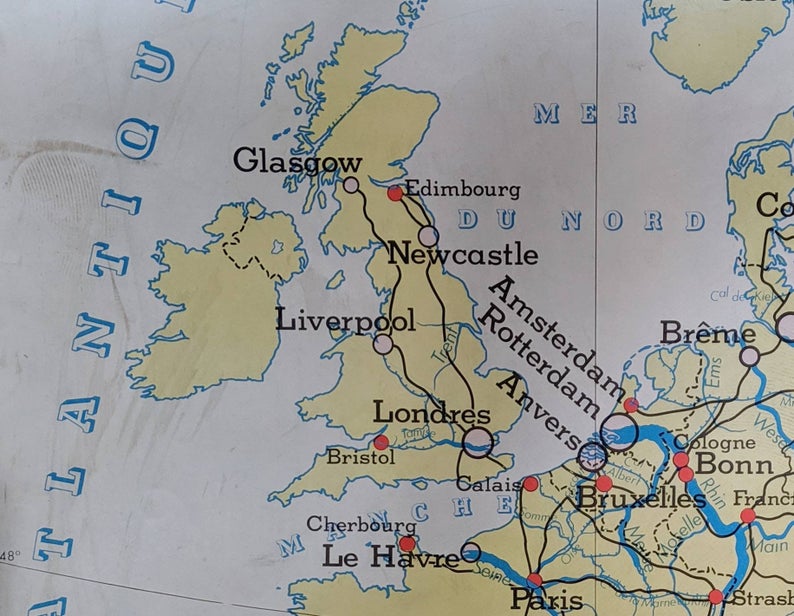
A double-sided vintage map of Europe, printed in France in the 1960s. Its dimensions are 30 3/4″ X 35 3/4″. Its focus is Western Europe (“Europe Occidentale”) and on one side it shows major cities and population distribution, while on the other it shows transportation thoroughfares.
Both sides of the map show generally the same geographic range — from Oslo to the northern coast of Africa (note the African coast is not depicted in great detail) and from Ireland to central Europe (for example, Warsaw is shown, as is Gdansk and Budapest). Other cities depicted include London, Hamburg, Copenhagen, Prague, Brussels, Zurich, Barcelona, and Madrid, all rendered in their French spelling (i.e. Londres, Bruxelles, etc.)
The transportation arteries depicted include rivers, railways, and canals. For example, in the United Kingdom, major railways, such as those linking Liverpool and London, are visible, as are key waterways, like the Thames (in French, the Tamise).
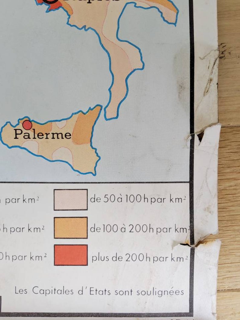
Important to know. This vintage European map is 50 years old and shows some wear. The “front” side, in red, orange and yellow, is in fairly good shape, with just some damage to the edges. On the “back,” however, is some discoloration (see photos.)
This vintage map of Europe was printed by Editions Rossignol in Vienne (western France), and it is marked as “N. 20” in their series of maps for schoolchildren. Rossignol was the primary printer of “affiches scolaires” or school posters, from the 1950s forward. For many French people who grew up in the post-war years (through the 1970s), Rossignol posters are an immediate callback to their childhood.
The condition of this poster speaks to the years during which it was used as a learning tool for generations of French children during the mid-20th century. You can read more about their historical press here [text in French] — Editions Rossignol even has a museum in the town of Cissé in Nouvelle-Aquitaine, though it is only open by appointment.
For more vintage maps, see here.
