web analytics

Vintage Map of France and the Garonne

$150.00

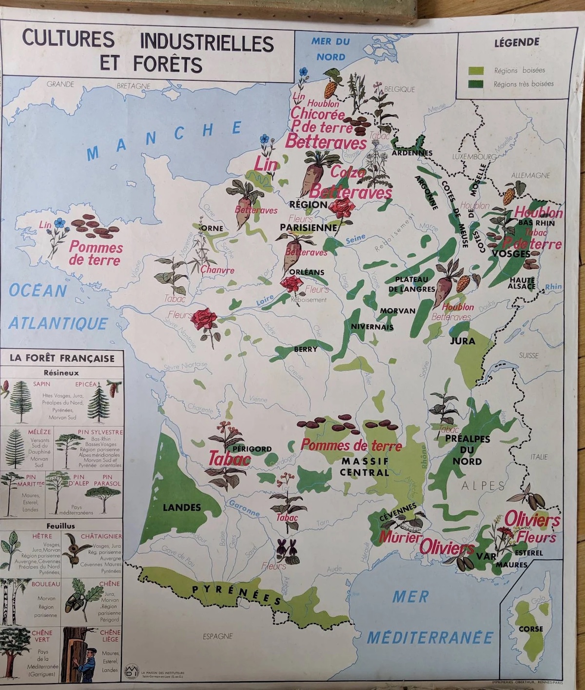
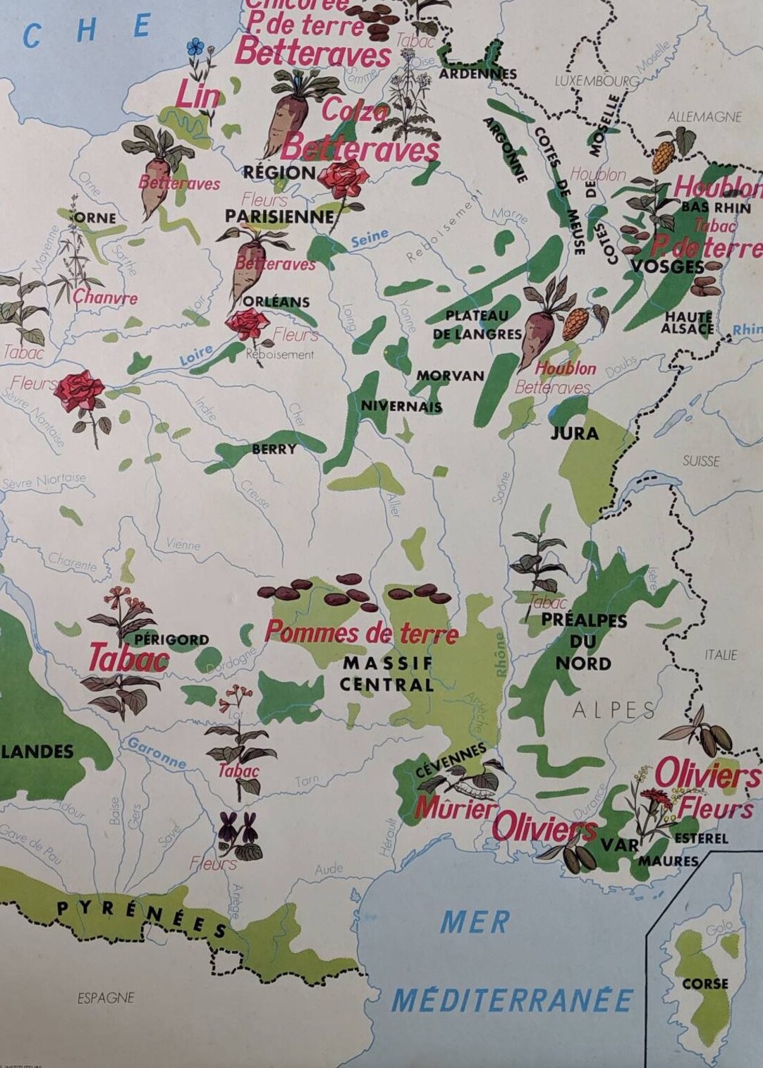
A charming vintage map of France, produced by the publisher MDI in the 1960s.

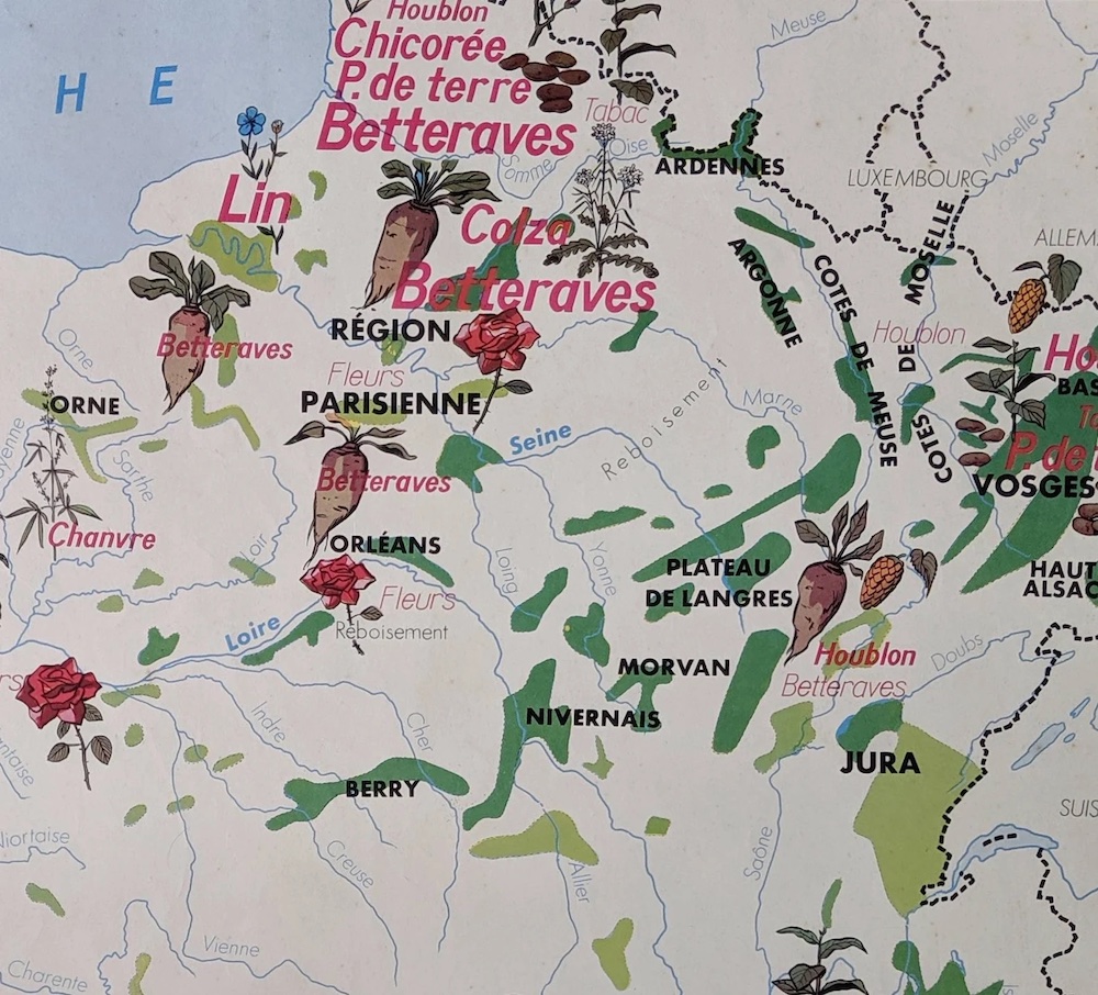
This vintage map is in full color, with lovely illustrations showing the major mountainous regions of France on its “front” (including the Pyrenees, Landes, Paris, the Jura, etc.). It also shows their primary crops, including potatoes, tobacco, and olives.

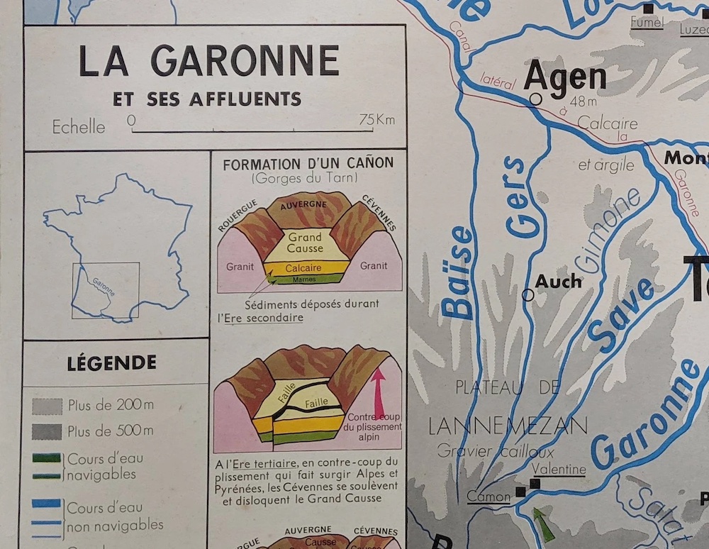
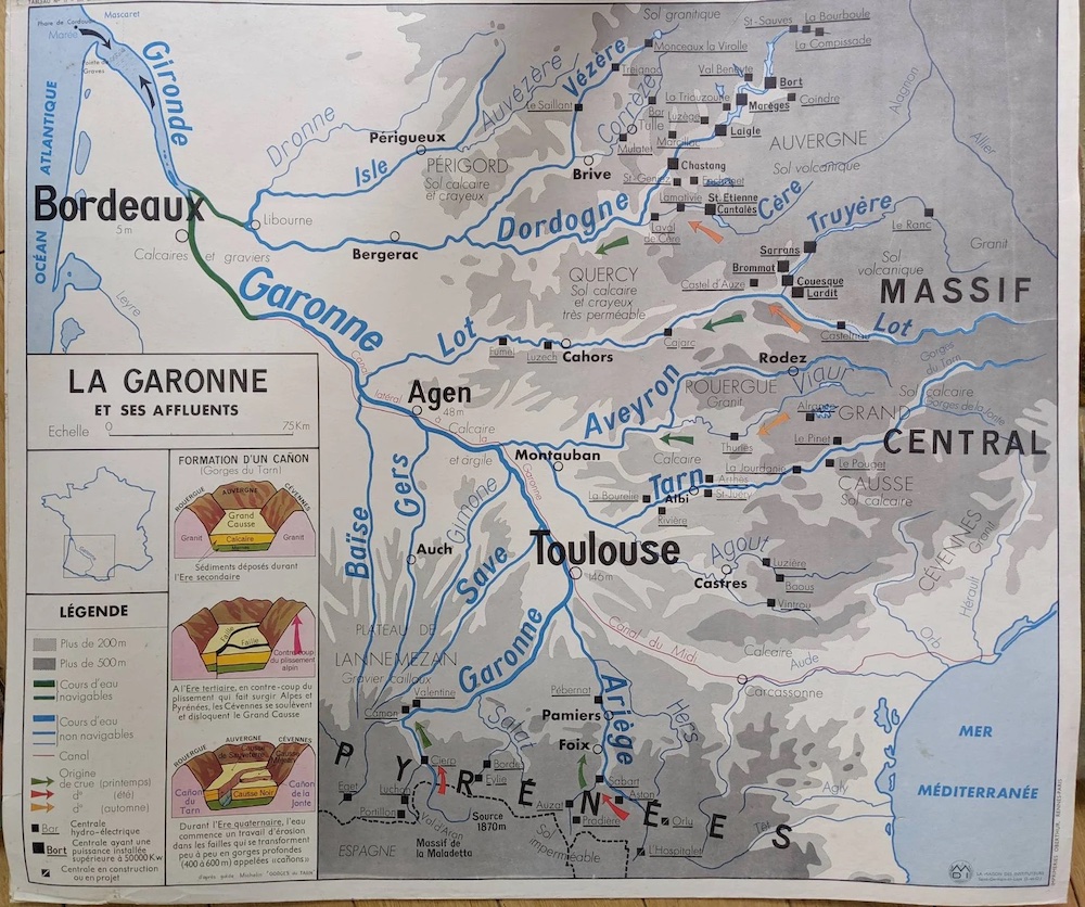
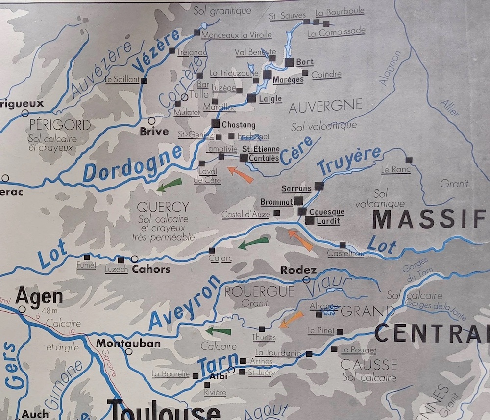
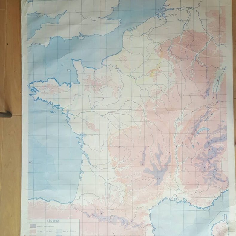
On the other side of this vintage map of France is a map of the Garonne river, which flows from Toulouse to Bordeaux and the Atlantic coast.

Description

This vintage map of France is 60+ years old and shows some wear, please see photos for details. It’s nothing a framer couldn’t handle.

30 3/4″ X 35 3/4″

This vintage map of France is in good condition given the age. Please see photos for some wear to the edges following over 60 years of use.

See here for more of our vintage maps of France. For occasional discounts and new products — as well as the latest news from France — please subscribe to my newsletter.